Geographical Information System
The Geoconcept Geographical Information System is the central kernel of a range of dedicated data and software for managing territorial data.
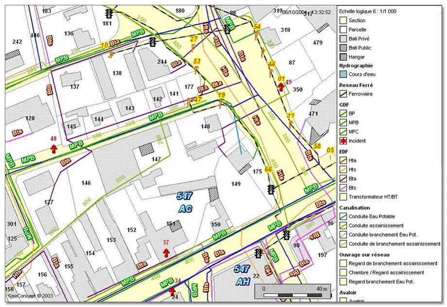 Coverage analysis
Possessing comprehensive and up-to-date information on the whereabouts of infrastructure and its condition enables public organizations to measure the performance of their networks. Thanks to the analytical capabilities afforded by GIS, authorities can easily calculate the impact that the siting of new equipment will have on the local economy and take maximum advantage of it.
The Geoconcept Geographical Information System is the central kernel of a range of dedicated data and software for managing territorial data.
Cartographic customization tools enable you to adapt the visual presentation to your requirements.
Discover our module for adding data-entry constraints Drawtools for Geoconcept
Territory analysis tools are frequently used by specialists on the ground. It is then vital that they are able to access them on mobile terminals.
Accurate geographical positioning of your building addresses, equipment and territorial areas is an indispensable step in achieving reliable and accurate calculations.
Discover our geocoding solution Geoconcept Universal Geocoder
GEOCONCEPT has surrounded itself with partners specialized in GIS and public administration who have developed dedicated territory management applications based on Geoconcept technology including:
land registry management, examining town planning and real estate cases, cemetery management, water and sanitation, managing ski areas, managing road infrastructure, urban planning…
These are all applications that enable you to enhance your knowledge of the territory and improve your use of it intuitively and interactively.