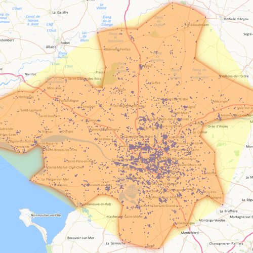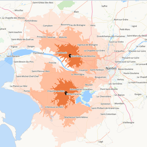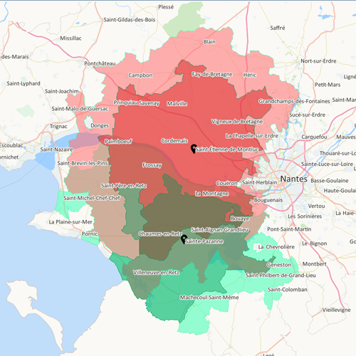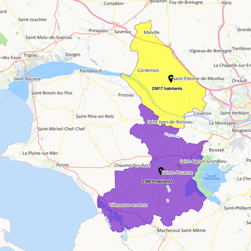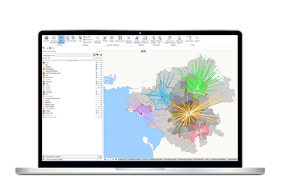


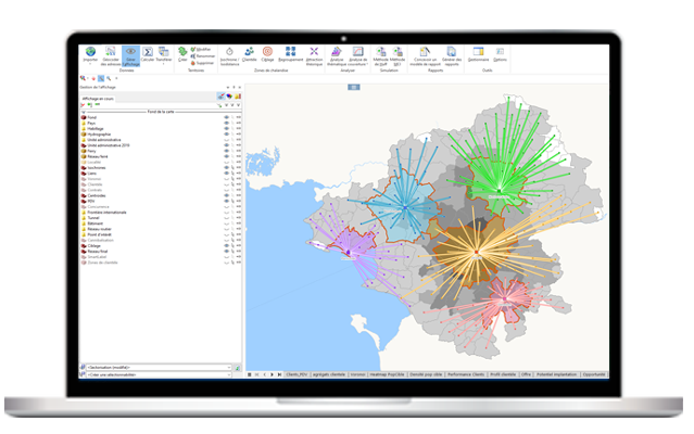


Geoconcept Sales & Marketing: the software for calculating your catchment area
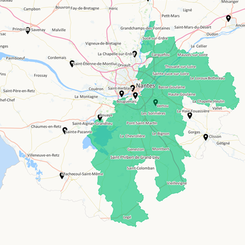
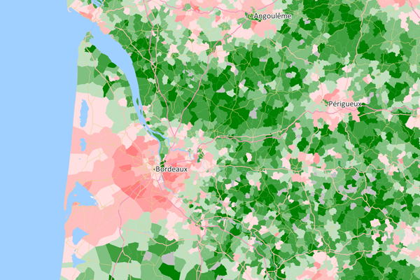
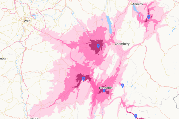
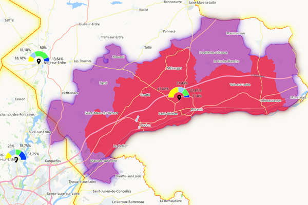
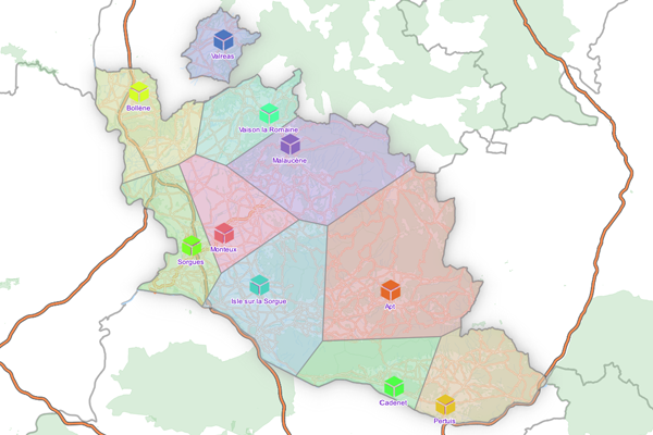
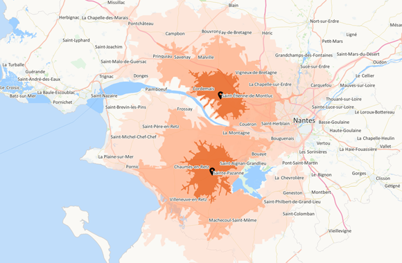
Indispensable for launching an activity, siting a new sales outlet or estimating potential turnover, calculating a catchment area enables you accurately to identify the geographical area in which your actual or potential customers are active, or come from.
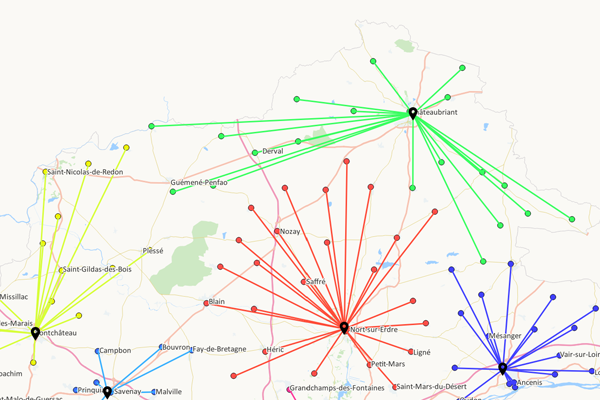
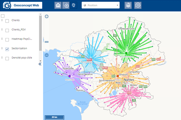
Irrespective of store type, Geoconcept Sales & Marketing is the go-to tool for defining your stores’ catchment areas.