Geomatics and GIS

Master your territory and optimise your activities

 
The success of public sector operations largely depends on a mastery of geographical information: urbanism, infrastructure, security, territory management, crisis management… Knowing one’s territory means making the right decision at the right time. GEOCONCEPT has been putting geographical intelligence at the service of public and parapublic bodies and emergency professionals for more than 30 years.

What is geomatics?

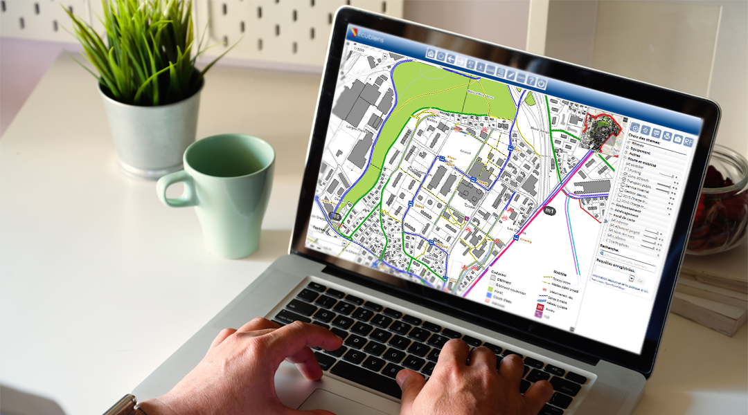
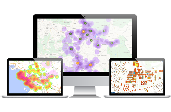
Geomatics, a contraction of the words geography and informatics, refers to the discipline whereby geographical data, namely location data (GPS coordinates, address, locality, land registry parcel number...) is collectedstrong>, presented and analysed. In a wider sense, it refers to all the methods and tools used for mastering geographical information. The standard geomatics software product is called a Geographical Information System, or GIS.

territory-management
 

Optimal territory and network management

risk-management
 

Better risk anticipation and management

field-teams-productivity
 

Better
field team
productivity

information-sharing
 

Streamlined information publication and sharing

Geomatics tailored to your business

Territory management Defence and security Geo-marketing

Urbanism, land registry management, network and infrastructure operations, asset management, communication with members of the public...

GIS enables the use, optimisation and sharing of all territorial data.

Find out more >

Mission preparation, alert management, atlas publication, operational deployment and monitoring, command system, intelligence, return to normality...

A GIS supports each stage in the process and ensures the safety of those involved.

Find out more >

Better customer knowledge, targeting one’s activities, creating a catchment area, defining one’s location strategy...

The GIS enables companies to analyse their data to optimise market coverage and fast track marketing and sales performance.

Find out more >

geoconcept-committed-to-smart-cities

GEOCONCEPT is committed to SmartCities

GEOCONCEPT’s geomatics solutions help towns and cities address the challenges of the energy and ecological transition: smart waste collection based on networked garbage bins, geo-referencing of buried gas networks, the quarter of an hour city...

Know more >

Our comprehensive and powerful range of solutions

They use Geoconcept solutions

All our customer references >

white-paper-geobusiness-intelligence

White paper: Benefits and implementation of geography within business intelligence

Business Intelligence, as the name suggests is a practice to understand the right business drivers and factors to boost business & hence revenue. The practice of BI is now decades old and it has evolved and adapted to the global business scenario… Context, how geography helps Business, definition and benefits of Geo-BI, how to implement Geo-BI.

Download the white paper  

Previous Next