The 3D for Geoconcept module is at the very heart of the 3D data design and use chain. Intuitive navigation in 3D scenes, processing of 3D models, creation of DTMs, display of longitudinal profiles, intervisibility...
Exploring, building and analyzing one's strategic data in 3D enhances simulations by approximating them as closely as possible to reality on the ground.
Discover the main features of 3D for Geoconcept 3.0
 Data
Data
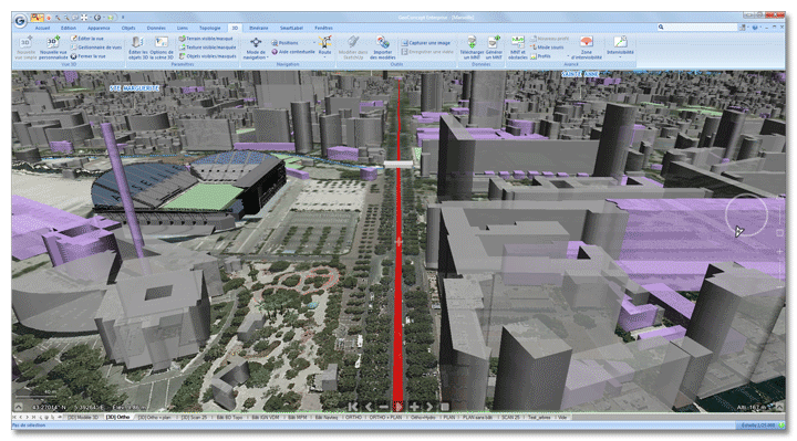
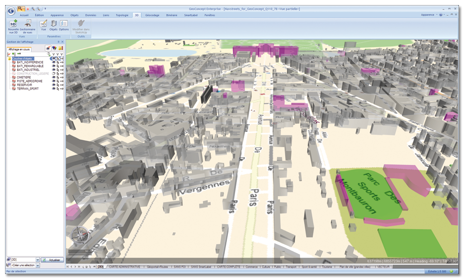
The module enables you to use all the GIS data in 3D: terrain, textures, objects, texts, themes, models...
Formats
3D for Geoconcept imports numerous digital terrain model formats (DTM, ASC, XYZ, GRD, DIS, TIFF, GEOTIFF...) and 3D models in the 3DS, DAE (Collada), OBJ, FLT, VRML, V3B...format DTM reprojection is also handled. In output mode, export to SketchUp Google in SKP format is accomplished in one click.
Accuracy
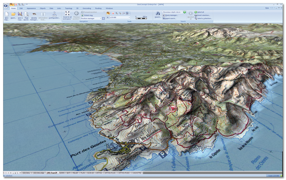
Thanks to terrain resolution as accurate as 0.5 meters in planimetry and 0.01 meters in altimetry, the user can work to a high degree of accuracy.
 Navigation
3D for Geoconcept confers the ability to create 3D routes from a line or succession of points and to travel this route in a number of different modes, pedestrian, car, pursuit, helicopter or plane. A route reading interface rounds off these sophisticated navigation features.
Longitudinal profiles
Among the available analyses, longitudinal profiles or topographical sections, present in graphical form the variation in altitude along an axis or line.
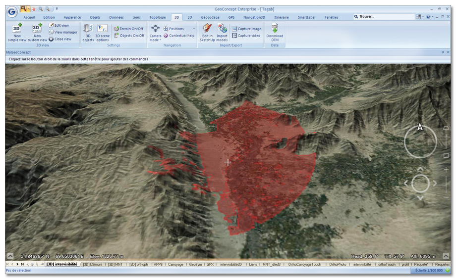
Intervisibility
The module quickly enables you to calculate an area of intervisibility. A polygon is generated accurately showing all the places on the map that can be seen from a given reference point.
Digital models
From an irregular pattern of points or contour lines, the user generates his own digital terrain models (DTM), which can be used directly in a 3D scene. A direct link with DTM download sites is proposed to round off the user data.
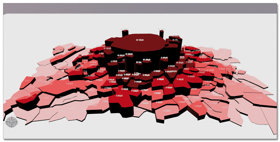
Thematic analyses
Thematic 3D representations are opening up new analytical opportunities. Color gradations and symbols make it possible to highlight the spatial variation of phenomena. Among the available representations: textures, extruded objects, tubes, cylinders…
Forecasting
Among the many possible types of presentation, marine submersion provides the best possible anticipation of coastal immersion and draw up accurate and effective prevention plans.