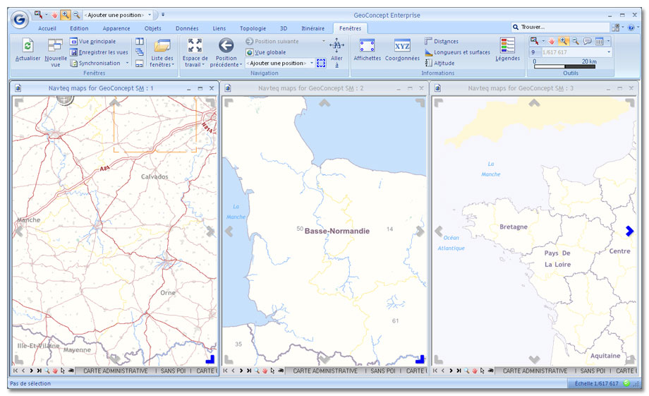
A GIS (Geographic Information System) is a computer system for gathering, organizing, managing, analyzing and combining, working out and displaying geographically-referenced information, from various sources, thus notably contributing to space management.
A recent discipline originated from GIS : geomatics, which combines geography and computer science.
Generally, a GIS software collects, combines and uses geographically-localized information, whether raster or vector.
There are many possible uses of the GIS. From the outset, they were mostly used in the research field : geology and environment. Now, thanks to more easy-to-use products, they are used in various fields, such as :
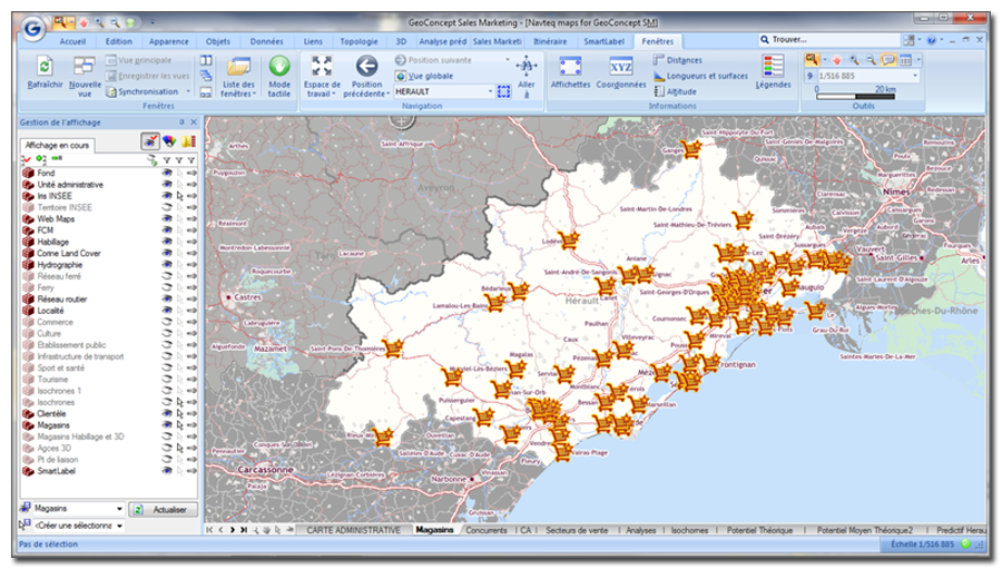
- marketing analyses (geomarketing)
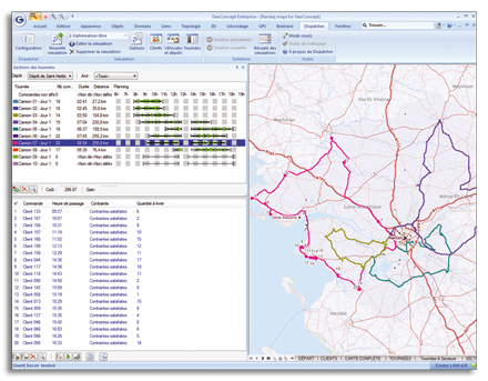
- logistics
- sales forces optimization
- mobile technicians optimization
- defense
- firefighters
- police
- mobile emergency medical service
- local government
GEOCONCEPT is now extending the uses of the GIS to improve the efficiency of companies and public services. We take into account the geographical aspect of problematic trends and associate it with our optimization methods.