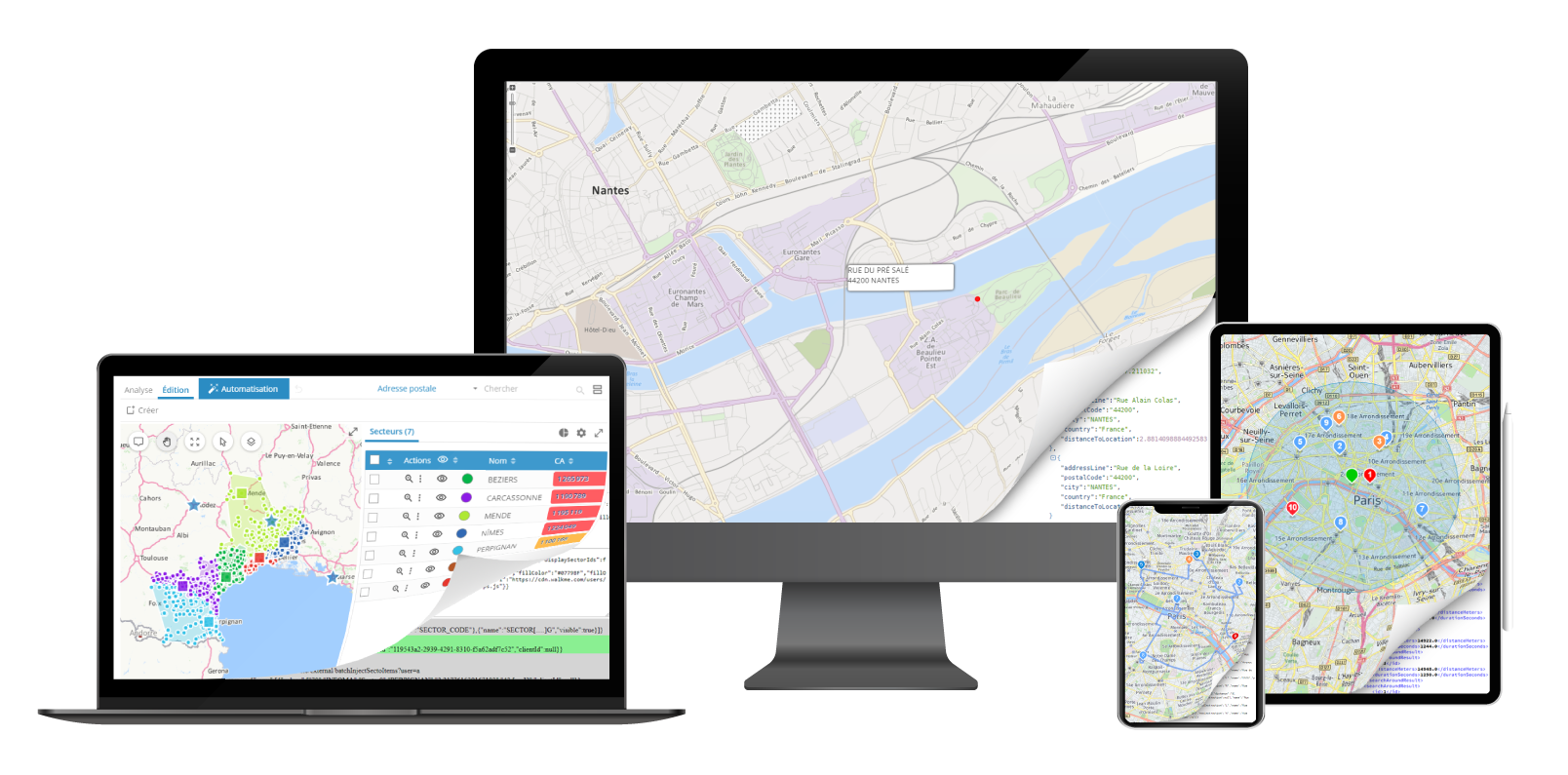
Geoptimization API summer 2021 is available
The Summer 2021 version of the Geoptimization APIs range improves application performance with new features.
Principal new features of version Summer 2021:
ROUTES:
• A new ETA (Estimated Time of Arrival) web service enables real-time monitoring and dynamic updating of the estimated time of arrival of field teams (delivery personnel, technicians…) taking account of real-time traffic. Having this information makes it possible, for example, to roll out innovative communication strategies to customers, who can then receive an SMS to know exactly when the resource will arrive and track his route on a map.
• The route calculations available in the Geoptimization API offering now enable a new vehicle profile-related constraint to be taken into account: the carriage of dangerous substances. The routes so calculated are tailored to the products carried (inflammable, toxic, polluting…).
• To make life easier for field staff, the route calculation web services now provide more information for inclusion on the roadmap (e.g., number of kilometers travelled per country in the context of an international journey, trunk road characteristics...).
• Because energy expenditure is an important challenge both financially and environmentally, the route calculation web services take account of fuel consumption costs, and kilowatt hour costs for electric vehicles.
• Driving speeds on unsealed roads have been adjusted to better reflect reality on the ground, certain categories of unsealed roads being more passable than others.
• The matrix calculation web service now operates asynchronously: with a view to ensuring greater technological robustness and optimal service continuity, calculation requests are placed in queues and processed sequentially. (in-house info only)
GEOCODING:
• The geocoding web service now has a more international complexion: (the notion of district/neighborhood has now been included.
• The algorithms used by the geocoding web service have been improved, enabling the results to be fine-tuned to improve quality.
• Currently the auto completion web service manages the Points of Interest as well, and no longer just the addresses (e.g.: when capturing the name of a company, monument or public transport station, the associated address is provided in the result).
CARTOGRAPHIC DISPLAY:
• It is now possible to consult the weather forecasts for the next few days to modify routes and route plans! Temperature, the amount of sunshine, wind, precipitation... the weather web service enables a particularly useful variable when planning and optimizing movements to be displayed: weather conditions. Knowing the weather conditions for the next 7 days, especially if they are very bad, enables the user to anticipate possible delays or problems by reducing vehicle travel speeds and/or extending visit durations. Alerts can also be configured to enable the user automatically to receive notifications in the event of severe weather conditions. Based on trigger thresholds defined by the user himself, these alerts indicate that the routes/route plans he is about to confirm risk being disrupted by bad weather conditions in terms of temperature, precipitation or wind conditions. He can then take the necessary action to adapt the planned movements.
• The geographical databases on which the cartographic display web services are based have been updated to ensure the reliability, relevance and durability of the calculations and analyses performed by the Geoptimization API:
o The administrative units and postcodes have been updated;
o The graphs have been improved to optimize travel time calculations. They now include average driving speeds based on road traffic volumes.
• A new map background is available, which enables the location of electric charging stations to be pinpointed anywhere in France.
More info