Geoconcept do not deliver the raw data but an integration, optimization and enhancement of information is done by our mappers for the use of these cards are best adapted to different businesses and architectures.
"Smartlabeled" maps for the best display
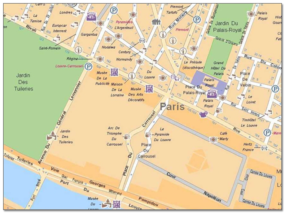
All the Geoconcept maps are delivered as standard with a graphical and enriched technology of SmartLabel, an exclusivity from Geoconcept. Smart Label is a display engine that provides the best possible reading maps by optimizing the automatic placement of text (odonyms, toponyms) and symbols for each display scale. This process can be described as intelligent displays dynamically maps on the screen by placing information automatically to make them always visible thanks to many positioning strategies within the constraints of legibility.
For large files, the compression is the solution !
Through an efficient compression format, the FCM (Fast Compressed Maps, card size is considerably reduced. For example the entire street-level map of France weighs 5 GB in NAVTEQ GDF format, 1, and 600 Mb in FCM format, 15% in average size of the standard formats on disk.The benefits of this module in a web architecture are therefore of quick access to geographic databases secure and strong size from small and standard configurations. FCM maps can be used in stand-alone solutions and client / server, Internet, and Active X.