Smart Label est un moteur d’affichage qui offre la meilleure lecture possible des cartes par l’optimisation du placement automatique des textes

Aesthetically pleasing and legible maps simply and quickly

 
Smart Label is a display engine ensuring that maps are as legible as possible by optimizing the automatic placement of texts (street or road names, place names) and symbols at each viewing scale.
This intelligent process dynamically displays maps on the screen, automatically placing information in such a way that they are always visible as a result of numerous positioning strategies depending on legibility constraints.
 
 
This technology ensures optimum map legibility, print ready layout without the need for prolonged and painstaking preparation and ensures that communication is of consistently high quality, saving a great deal of time.
 
Its use is particularly relevant in an Internet/Intranet environment for reading street maps : no screen edge cutting or text overlap. SmartLabel avoids multiple handling operations which clog up the servers and makes it possible to display a perfectly legible map containing a wealth of information (street names, numbers, traffic direction,etc).


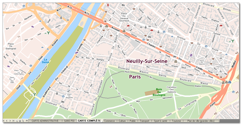
All the maps provided by Geoconcept feature SmartLabel technology.


Key strengths of the SmartLabel module


  • Maximum legibility of the map information;
     
  • Print ready layout
     
  • The server is not requested for map movements, for example to find out the name of a street
     
  • Fewer interactions between the server and the clients