


Geographical information system
Geoconcept GIS
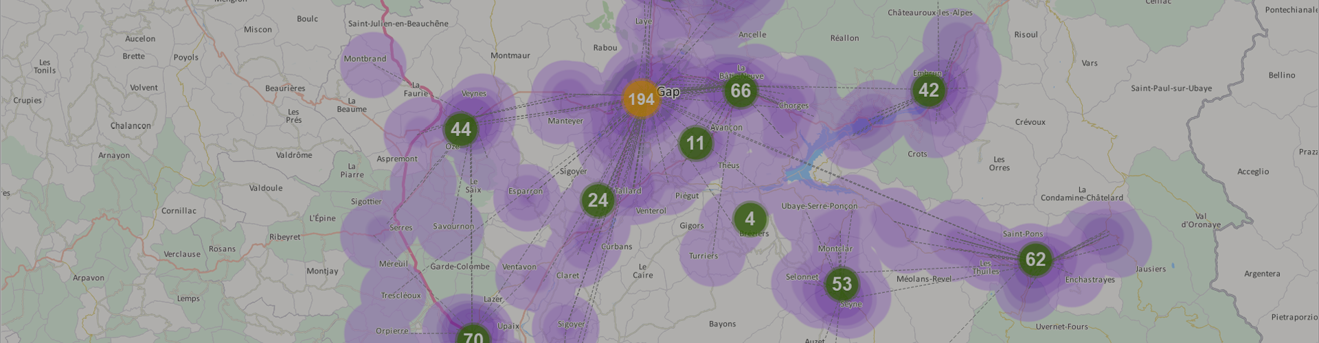
Optimise your territory, manage your field activities
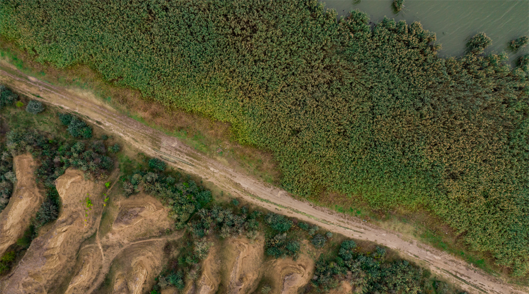
- Integrate all your geographical data
- Share a common reference table, promote collaborative working
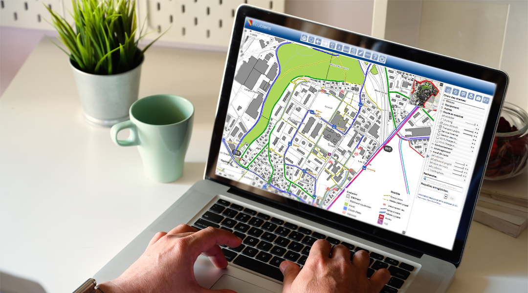
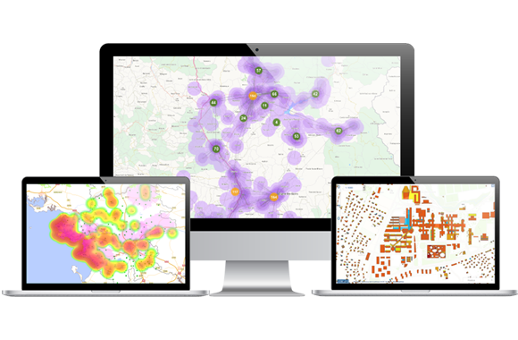
- Personalise the representation of your database
- Geocode millions of addresses, quickly and accurately
- Easily perform territorial and strategic analyses
- Optimise your field teams’ productivity
- Build your cartographic website in just a few clicks for efficient data publication