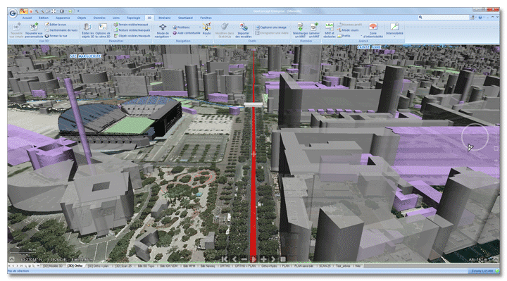

Simplicity
Geoconcept is the only geographical information system to make 3D an integral part of its technology. A user-friendly interface enables the user to toggle from a 2D to a 3D scene with one click. The 3D for Geoconcept module provides access to the most advanced navigation and analysis features for 3D data directly from the GIS.


