


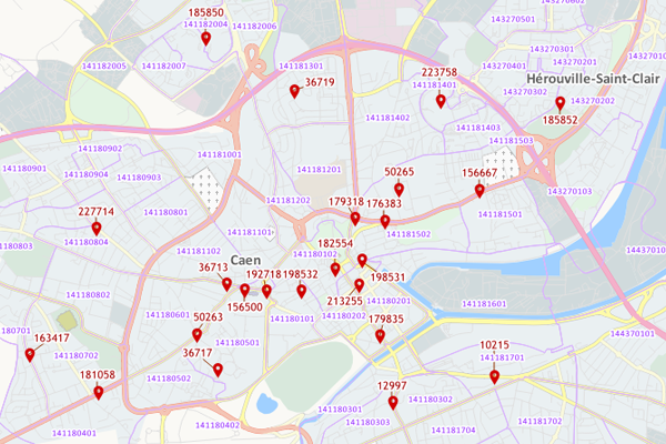
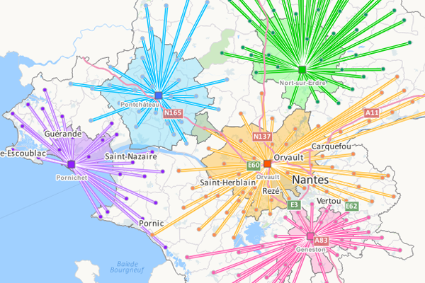
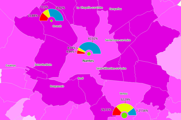
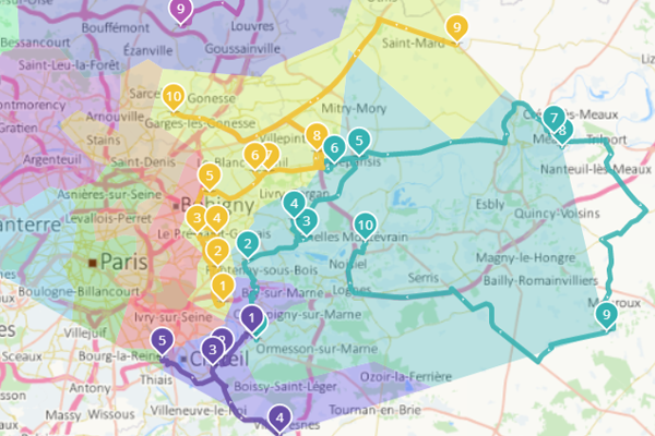
Geoconcept GIS:
a rich and pleasant user experience
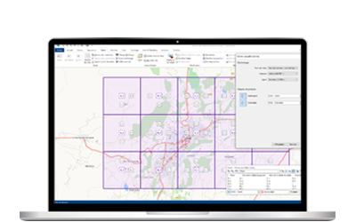
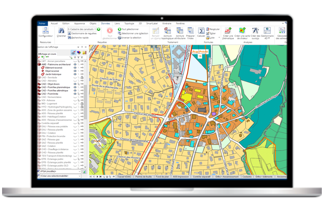
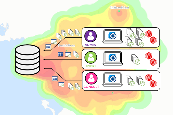
Geoconcept GIS's very intuitive interface meets the needs of non-specialist and expert users alike.
There are numerous wizards to make it easier to master the tool and perform analyses. And the personalization of the interface enables the user to only retain the buttons he uses the most frequently.